Chart Changes
By Will Swagel
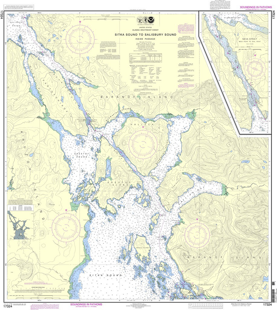
In 1862, five years before the U.S. took possession of Sitka and Alaska, the government started printing the beautiful, color lithographic charts on heavy bond beige paper that were ultimately sold by private vendors, like Murray Pacific and Old Harbor Books. That era has come to an end.
Last year, the Federal Aviation Administration, which distributes both aeronautical and nautical navigation charts, announced that after April, 2014, they will no longer distribute the printed nautical charts (aeronautical charts will still be produced.) FAA took over chart distribution from the National Oceanic and Atmospheric Administration in 1999.
 Instead, mariners will download their charts to electronic devices, or buy them from a few selected commercial printers who are partnering with the government in a Print-on-Demand (POD) system. Mariners will be able to order paper charts from these firms online or by phone.
NOAA’s Office of Coast Survey is the nation’s nautical chart maker. Originally formed by President Thomas Jefferson in 1807, Coast Survey updates charts, surveys the coastal seafloor, responds to maritime emergencies, and searches for underwater obstructions that pose a danger to navigation.
“The decision to stop (paper chart) production is based on several factors,” NOAA stated. “The declining demand for lithographic charts, the increasing use of digital and electronic charts and federal budget realities.”
National Public Radio reported that the government sells about 60,000 of the old 4-by-3-foot lithographic charts each year for about $20 apiece, the same amount it costs to print them. NOAA spends about $100 million a year to survey and chart U.S. waters.
Until now, the government has had to print many more charts than are sold in order to maintain inventory of paper charts. When new versions of the charts are released, the old ones need to be returned. Print-on-Demand solves that expensive problem.
“I don’t think it’s cost effective for them,” said Darin Duffield at Murray Pacific’s Sitka store. “They have to print a large number of charts that may or may not be sold. Plus, they have to handle the returns of the outdated charts.”
Still, Duffield said he put in a big last order for charts. “But (folks) need to know that when I’m out of charts, I’m out of charts,” he said.
NOAA answers a wide variety of questions in a PDF document posted at http://www.nauticalcharts.noaa.gov/staff/docs/FAQ%20lithographic%20chart%20announcement.pdf
NOAA states that there are two companies that have agreed to produce POD charts – OceanGraphix and East View Geospatial. As part of the agreement with the government, both companies are required to make a good faith effort to print the chart and ship within 24-hours of receiving the order. The POD charts are to be produced so they are tolerant of water and UV damage and stand up to repeated folding, writing and erasing – similar to the traditional NOAA charts.
OceanGraphix has 37 U.S, retail locations. In Southeast, mariners can view the POD product at JT Brown’s store in Craig and Marine Exchange of Alaska in Juneau.
For more information about electronic charts available from NOAA, visit http://www.nauticalcharts.noaa.gov/staff/news/2014/pdfcharts.html
And for those who display nautical charts as artwork, the new printable PDF charts at 400 dpi continue the look and colors of traditional charts. Customers will have more choices where paper is concerned. NOAA asked chart lovers to remember that they have tens of thousands of historical charts free for download and printing, at nauticalcharts.noaa.gov/history. They said many notable Americans helped produce the historical charts, including American artist James Whistler and Sierra Club founder John Muir, who both worked for the agency.